The Chulabhorn satellite receiving system for the HJ-1A satellite was constructed by the Center for Resources Satellite Data and Applications (CRESDA), a subsidiary of China Aerospace Science and Technology Corporation (CASC), in 2008.
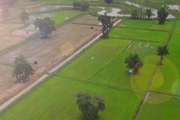
In its trial phase, the ground station helped monitor the floods which hit southern Thailand that year. As the HJ-1A satellite passed over the flood-hit region in Thailand, it relayed satellite images of the situation below to the Chulabhorn receiving station on a daily basis — providing useful information of how the disaster was unfolding.
The Chulabhorn satellite receiving system supports the Thai population and agricultural sector in various other ways. Satellite remote sensing provides alternatives to indirectly estimate soil moisture with high temporal and spatial resolutions. In addition, accumulated rainfall, average solar radiation, average temperature can also be transmitted to the Chulabhorn satellite receiving system.
The system provides generated satellite products for research and government agencies in areas such as flood and drought monitoring, forest fire monitoring, landslide detection, and the planning and assessment of agricultural resources.
According to Associate Professor Dr. Mongkol Raksapatcharawong, the Princess Chulabhorn Satellite Receiving Station (CSRS) can be implemented for a Smart Agriculture Platform which Kasetsart University may share its knowledge to the public. This project was initiated with through cooperation between the Thai government (led by the Ministry of Information and Communication Technology) and the Chinese government to build a Small Multi-Mission Satellite (“SMMS”) for disaster surveillance and global
exploration, including satellite communication via a KA-band microwave frequency. In Thailand, the Faculty of Engineering, Kasetsart University, collaborated with the building of communication equipment of the KA-Band frequency. The project was completed in 2008, and the handover and opening ceremony for the KA-band Ground Station took place on December 25, 2008.
In July 2009, negotiations were conducted to expand cooperation on the application of SMMS satellite imagery in various fields that are useful for the development of Thailand. The Chinese government proposed a ground station installation project to receive and process SMMS satellite imagery directly using a microwave frequency X-Band. The satellite images can be used for natural resource exploration, agricultural planning and disaster warning, etc. China has permitted Thailand to utilize photo signals from the CCD and Hyper-Spectral cameras free of charge.
In December 2010, an agreement was signed between the China Center for Resource Satellite Data and Applications (CRESDA) and Kasetsart University. With an investment of approximately 60 million baht to build a ground station, the Faculty of Engineering was appointed as the operating agency. An investment by Kasetsart University gave it a 50% stake of 30 million baht. Another 30 million baht was obtained from the work of two projects from the Ministry of Information and Communication Technology: a project for a small multi-purpose satellite (SMMS), and satellite data application project for landslide surveillance and alarm.
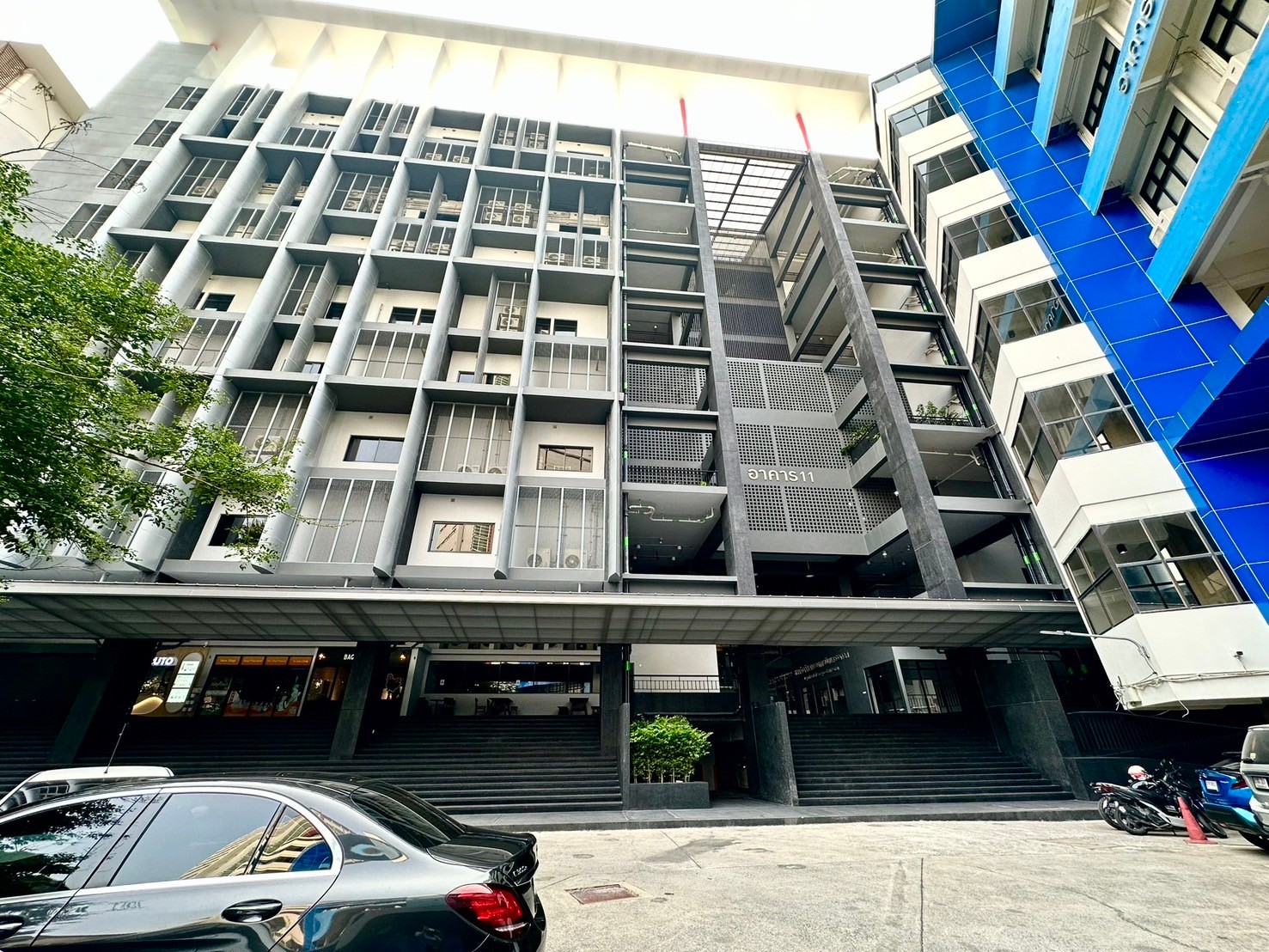
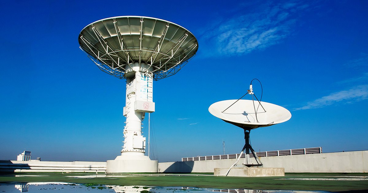
Later, the satellite was installed at the rooftop on the 10th floor of the Boonsom Suvashirat Building (Building 9 of the Faculty of Engineering), together with a receiving and processing station which was installed on the 9th floor in February 2011. Moreover, a digital satellite image storage device was available for distributing satellite images to various departments free of charge.
Up until now, the Chulabhorn receiving station is to promote the use of disaster warning and managing the country’s resources, the Princess Chulabhorn Satellite Receiving Station (CSRS) will act as a warehouse of satellite images and processing products in various fields, for example: disaster monitoring (landslides, floods, forest fires and drought), soil moisture monitoring, creating a map of the disaster potential area, monitoring the growing situation of plants, pest control and planning of communication systems backup, etc. It provides complete, integrated management to reduce the cost of procurement and management of information for each department.
With the potential of SMMS satellite imagery, the main missions of CSRS can be summarized as follows:
• Mission for broadcasting satellite imagery.